
The Ormond Way Hiking Trail
Walking the Ormond Way
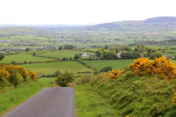
Stage 1
Milestone to Upperchurch:
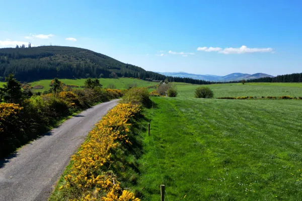
A strenuous 6.65 km hike, starting in Milestone, with hikes through farmland, skirting forrestry and local roads and climbs of up to 110m (the highest point in the walk) in elevation before decending to Upperchurch village.
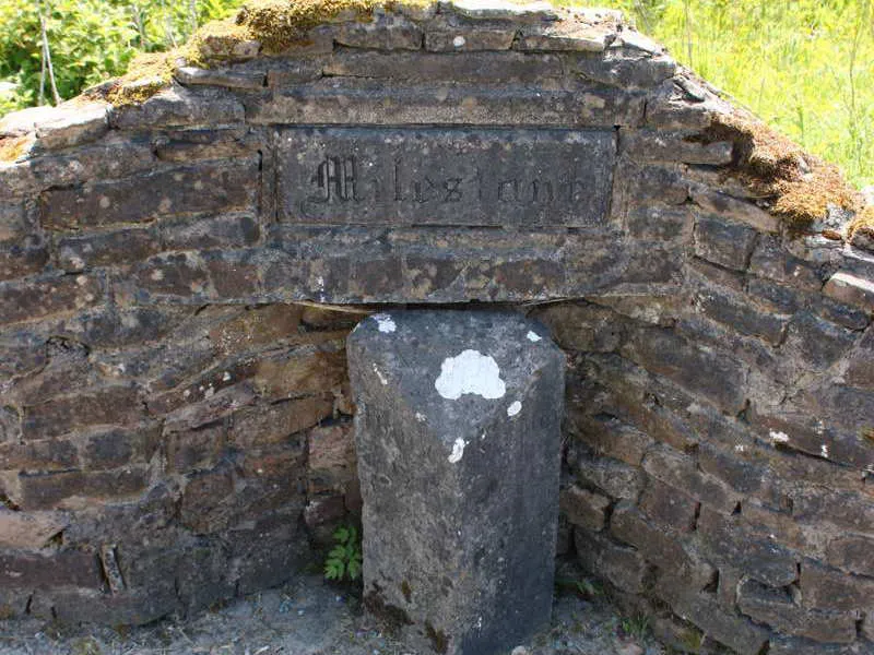
The word “milestone” is English in origin. It refers to stone markers along the side of a road, set at a distance of a mile, or fractions of a mile, that give information not only about how far a person had traveled along a road, but also how many more miles it is to the next town.
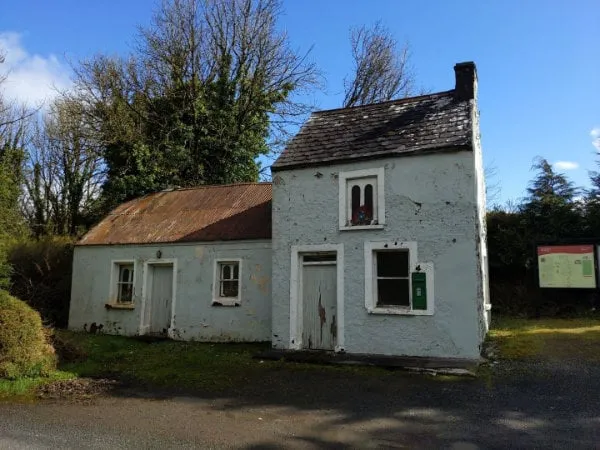
The old Post Office in Milestone, Co. Tippersry is the starting point for the Ormond hiking trail.
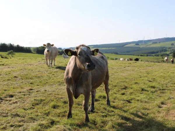
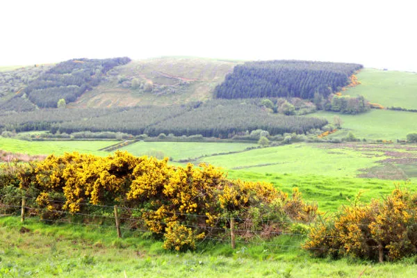
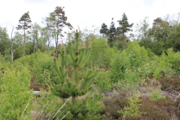
Thr first part of this stage crosses farmland and the Upperchurch wndfarm. The cows took an interest in us, but there were no problems.
Stage 2
Upperchurch to Templederry:
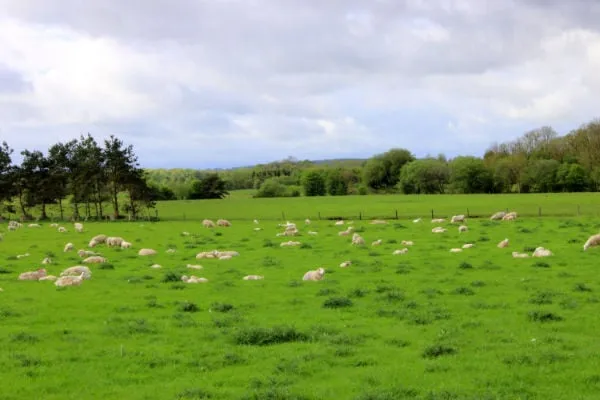
A strenuous 11.1 km hike, starting in Upperchurch and ending in Templederry. The hike winds through local country roads, forrestry and farmland with two climbs of around 120m in elevation before a descent of 130 m to the village of Templederry.
Stage 3
Templederry to Toomevara:
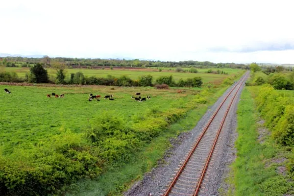
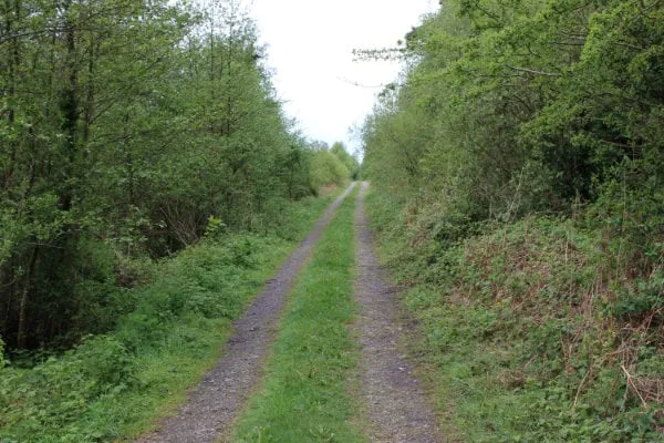
A moderate to easy 13 km hike, starting in Templederry and ending in Toomevara. The hike goes through local country roads and farmland. The walk follows the Nenagh river bank before crossing the R498 road and climbing about 90m in elevation up to Latteragh hill before descending to Toomevara.
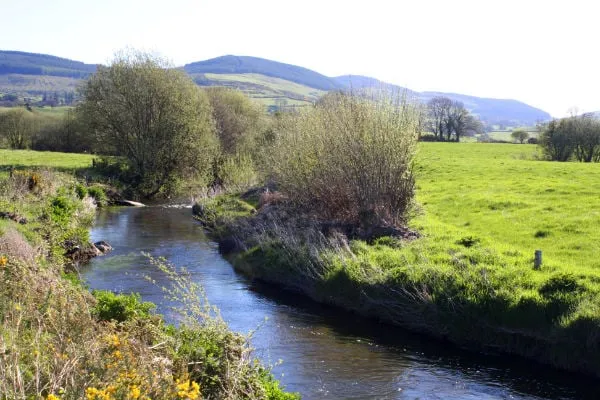
Nenagh River
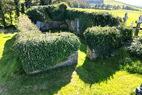
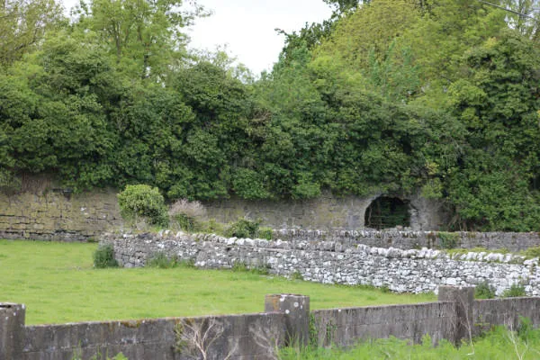
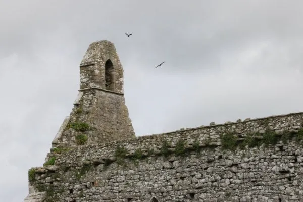
Latteragh Church
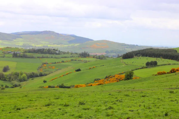
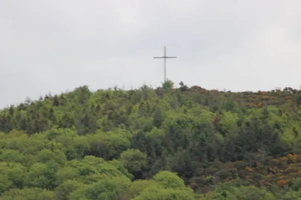
View from Latteragh Hill
Stage 4
Toomevara to Cloughjordan:
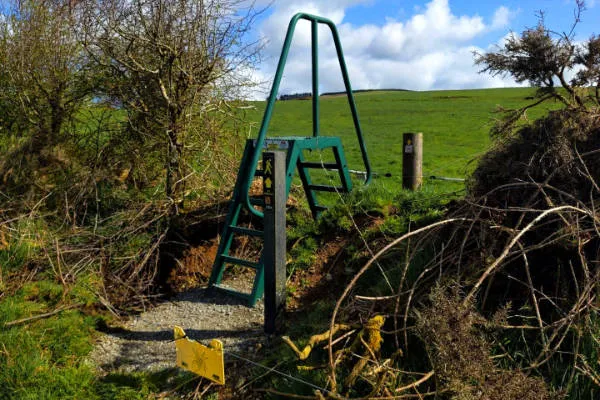
A relatively easy 13.25 km hike, starting in Toomevara and ending in Cloughjordan. This stage of the walk is relatively flat. Walkers cross the M7 motorway via an underpass that the committee had built, The trail ventures into County Offaly briefly just before Cloughjordan.
Stage 5
Cloughjordan to Ballinagarry:
A relatively easy 10 km hike, starting in Cloughjordan and ending in the village of Ballingarry. This stage of the walk is relatively flat. Walkers travel on local roads, farmland, forestry and through the bog of Scohaboy, which is a Special Area of Conservation (SAC)
Stage 6
Ballinagarry to Lorrha:
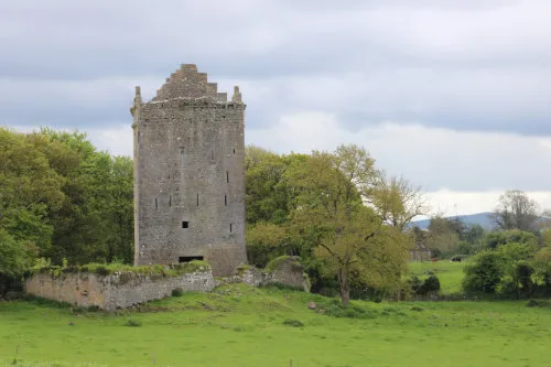
A long stage of 16.6 km to end the Ormond Way begins in Ballingarry and ends in the monastic village of Lorrha. The trail is on local roads, farmland, forestry and bogland and passes the historic ruins of Lackeen castle.
Ormond Way Videos


© 2023 In Tipperary, All Rights Reserved.
Web Design by Pixelweb Design