Welcome to the In Tipperary Website
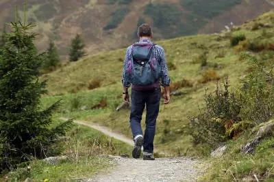
The purpose of this website is to promote the Tipperary countryside as a hiking and cycling destination.
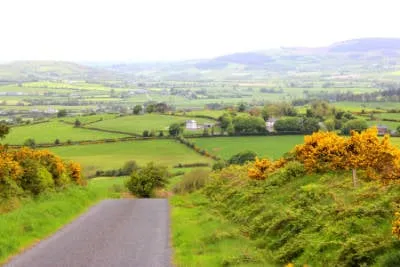
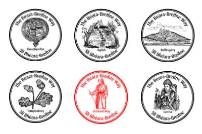
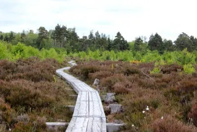
The Ormond Way is both a hiking and a cycling trail starting in the Milestone area and ending in Lorrha (hiking trail and Protumna (cycling trail) The hiking trail is just over 70 km in length. other websites state it as 83 km in length, but the trail has been shortened as suitable walking land is not available from Lorrha to Portumna. The hiking trail ranges from 38m above sea level at its lowest point to 366m above sea level at its highest point.
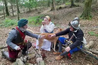
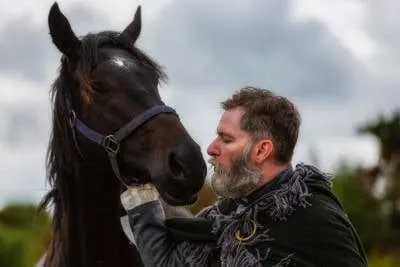
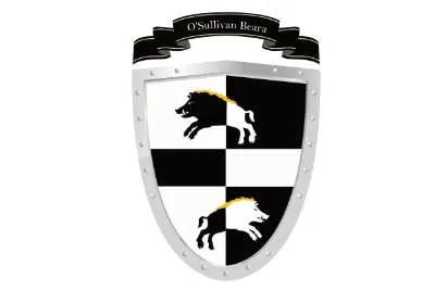
The Ormond Way is part of the Beara-Breifne Way, which follows the legendary fourteen-day march taken by Dónal Cam O’Sullivan Beare and his one thousand supporters in 1603, and it visits many of the places and communities shaped by their story.
The Way runs almost the length of the country and takes the walker and cyclist to some of its most beautiful and least explored areas in Ireland.
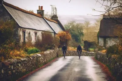
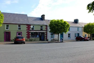
The Ormond Way cycle route begins in the Milestone area and routes through local, regional and national roads through Templederry, Toomevara, Cloughjordan, Ballingarry, Lorrha and ends in Portumna.
Explore Tipperary

© 2023 In Tipperary, All Rights Reserved.
Web Design by Pixelweb Design