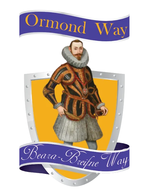
The Ormond Way
A Hiking & Cycling Trail through Tipperary's Heartland
Follow in the footsteps of Donal Cam O'Sullivan Beare, who led around 1000 followers from the Beara penninsula in Cork to Breiffne in Leitrim in 1603.
Welcome to the Ormond Way Website
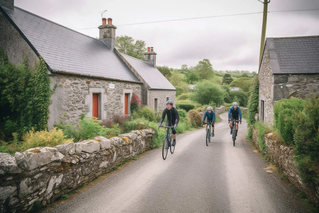
The Ormond Way is both a hiking and a cycling trail starting in the Milestone area and ending in Lorrha (hiking trail and Protumna (cycling trail) The hiking trail is just over 70 km in length. other websites state it as 83 km in length, but the trail has been shortened as suitable walking land is not available from Lorrha to Portumna. The hiking trail ranges from 38m above sea level at its lowest point to 366m above sea level at its highest point.
The Ormond Way is part of the Beara-Breifne Way, which follows the legendary fourteen-day march taken by Dónal Cam O’Sullivan Beare and his one thousand supporters in 1603, and it visits many of the places and communities shaped by their story.
The Way runs almost the length of the country and takes the walker and cyclist to some of its most beautiful and least explored areas in Ireland.
The Ormond Way cycle route begins in the Milestone area and routes through local, regional and national roads through Templederry, Toomevara, Cloughjordan, Ballingarry, lorrha and ends in Portumna.
The hiking trail is divided into 6 stages which vary in difficulty from strenuous to easy.
Stage 1:
Milestone to Upperchurch: A strenuous 6.65 km hike, starting in Milestone, with hikes through farmland, forrestry and local roads and climbs of up to 110m (the highest point in the walk) in elevation before decending to Upperchurch village.
Stage 2:
Upperchurch to Templederry: A strenuous 11.1 km hike, starting in Upperchurch and ending in Templederry. The hike winds through local country roads, forrestry and farmland with two climbs of around 120m in elevation before a descent of 130 m to the village of Templederry.
Stage 3:
Templederry to Toomevara: A moderate to easy 13 km hike, starting in Templederry and ending in Toomevara. The hike goes through local country roads and farmland. The walk follows the Nenagh river bank before crossing the R498 road and climbing about 90m in elevation up to Latteragh hill before descending to Toomevara.
Stage 4:
Toomevara to Cloughjordan: A relatively easy 13.25 km hike, starting in Toomevara and ending in Cloughjordan. This stage of the walk is relatively flat. Walkers cross the M7 motorway via an underpass that the committee had built, The trail ventures into County Offaly briefly just before Cloughjordan.
Stage 5:
Cloughjordan to Ballinagarry: A relatively easy 10 km hike, starting in Cloughjordan and ending in the village of Ballingarry. This stage of the walk is relatively flat. Walkers travel on local roads, farmland, forrestry and through the bog of Scohaboy, which is a Special Area of Conservation (SAC)
Stage 6:
Ballinagarry to Lorrha: a long stage of 16.6 km to end the Ormond Way begins in Ballingarry and ends in the monastic village of Lorrha. The trail is on local roads, farmland, forrestry and bogland and passes the historic ruins of Lackeen castle.
Explore

The Hiking Route
Map of the Cycling Route
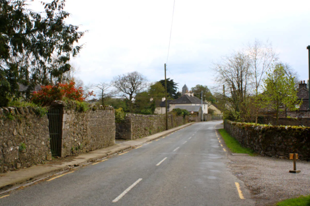
Villages on the Ormond Way

Towns and Villages in Tipperary

The Beara Breifne Way

Beara Breifne Way Stamps
O'Sullivan Beare History

O'Sullivan Beare in Tipperary

Clans that Marched with O'Sullivan Beare
Tipperary Clans
Special Areas of Conservation
Contact Form

Donal Cam O'Sullivan Beare
Follow Us On
© 2023 Ormond Way., All Rights Reserved.
Web Design by Pixelweb Design